How AI Verifies Nautical Charts Against Voyage Plans Safely
December 10, 2025 By OceanDocs AI
Planning a safe sea passage depends on accurate charts and a reliable voyage plan. As routes grow more complex and timelines shrink, understanding how AI verifies nautical charts against voyage plans has become essential for safer, more predictable marine operations. Modern bridge teams rely on tools that can review every leg, contour, and update before departure—long before navigational risks appear at sea.
Why nautical chart verification matters more than ever
Digital charts evolve constantly. Updated depths, shifting sandbanks, new traffic separation schemes, and changing port rules appear almost weekly. At the same time, voyage planning has become more demanding as ships face congested waterways, unpredictable weather, tighter schedules, and stricter approvals from operators and authorities.
When bridge teams rely solely on manual checks, outdated or incomplete chart data can slip through. A voyage plan drawn on a chart that hasn’t been updated with Notices to Mariners or ENC corrections can expose the vessel to grounding risks, collisions, or restricted-area violations. Automated chart checks help ensure that planned routes reflect the most current navigational information available.
From voyage plan to digital verification
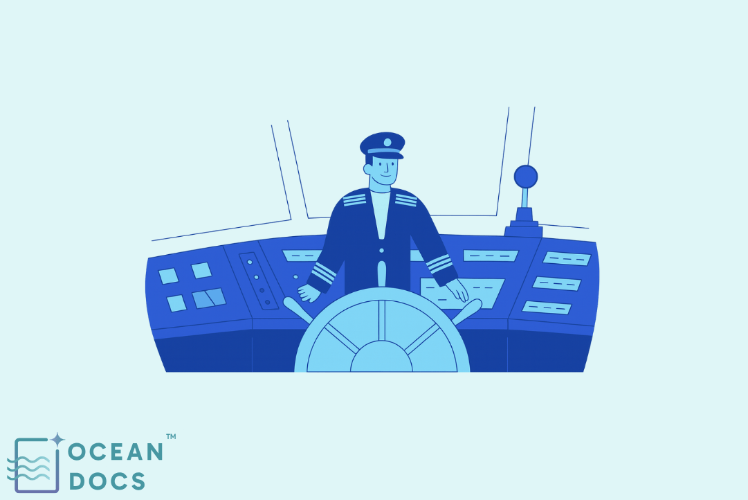
On a modern bridge, the voyage plan is created inside the ECDIS and supported by planning tools that define waypoints, safety contours, cross-track limits, and no-go areas. Ideally, the plan aligns perfectly with the vessel’s latest nautical charts.
AI in maritime converts voyage plan details into machine-readable elements. It compares the intended track against ENC layers, hazards, and restrictions. Instead of relying on visual checks alone, AI examines the route leg by leg, ensuring safety contours, traffic lanes, and depth limits are properly respected. This strengthens navigation safety before the vessel leaves port.
How AI analyzes charts like a “digital navigator”
To understand how AI verifies nautical charts against voyage plans, imagine a digital navigator working tirelessly in the background. It reviews every pixel of the route, cross-checking each segment with multiple chart layers.
AI document intelligence can interpret chart symbology, depth gradients, area boundaries, traffic zones, no-go polygons, and ENC corrections. It flags inconsistencies such as:
- A route crossing a restricted or dangerous area
- A planned leg violating the vessel’s safety contour
- ENC updates that affect passage feasibility
- Overlaps with traffic separation zones or mandatory reporting areas
This kind of maritime AI turns static charts into active safety systems that support navigation decision-making in real time.
Smart documentation linked to the route
Voyage planning isn’t just about lines on maps—it relies heavily on shipping documents and maritime documentation that must match the intended route. Smart documentation tools connect chart checks with operational procedures, so relevant guidance appears automatically.
AI in shipping extracts operational requirements from passage plans, risk assessments, circulars, and checklists. When linked to charted areas, these insights help bridge teams act more confidently. For example:
- Navigating through sensitive areas may trigger MARPOL or Pollution Prevention reminders.
- Entering high-density traffic zones may surface COLREGs guidance.
- Approaching ports may display ISPS Code instructions or reporting rules.
With document intelligence, bridge teams get context-aware guidance instead of flipping through manuals under pressure.
Maritime compliance built into the voyage
Modern routes must comply with a wide range of maritime regulations—from SOLAS navigation requirements to MARPOL limits and STCW crew readiness. AI-powered maritime operations solutions ensure voyage plans reflect these obligations.
Maritime compliance software can detect when a proposed route intersects:
- Restricted emission zones
- Ballast Water Management areas
- COLREGs-regulated traffic channels
- Security-sensitive ISPS Code zones
- MARPOL Annex areas requiring special precautions
For tankers, this also supports sire vetting expectations, ensuring the voyage plan aligns with ISGOTT guidelines and other tanker ship management practices. By embedding compliance checks into the route, AI supports ism compliance and reduces surprises during Port State Control inspections.
Supporting HSEQ and Marine Operations
Shore teams responsible for fleet management and ship management need early visibility into navigational risk across all voyages. AI in maritime allows them to evaluate plans at fleet scale.
Technical ship management and marine operations teams can:
- Compare planned routes against historic deviation incidents
- Identify repetitive safety risks tied to certain sea lanes
- Validate navigation safety standards across all vessels
- Confirm alignment with COLREGs and company HSEQ procedures
Fleet management solutions can also compare actual tracks with planned tracks, helping organizations refine training, adjust policies, and prepare more effectively for ship surveys and marine surveying audits.
Audit readiness and Port State Control support
Port Authorities expect vessels to demonstrate structured, well-documented voyage planning. AI document intelligence helps maintain accurate records of each chart check, correction, approval, and risk mitigation step.
During inspections, the ability to show:
- Which ENC versions were used
- When chart updates were applied
- How the voyage plan was verified
- Which rules were checked during planning
strengthens audit readiness and supports smoother Port State Control interactions. This also reassures inspectors evaluating ism maritime procedures, Pollution Prevention practices, or ballast water operations.
Connecting bridge teams and shore control
AI-powered maritime operations solutions connect bridge decisions with office-based oversight. Ship management software that integrates chart data, voyage plans, and shipping documents enables quicker cross-checks between departments.
Ship crew management teams can assess STCW-related training needs based on real voyage risks. Fleet ship management gains a fleet-level risk picture, enabling more accurate planning, better routing decisions, and targeted Marine Technology investments. Lessons learned from each voyage feed back into smarter future planning.
Practical steps to adopt AI for chart verification
Companies can begin adopting AI-based chart checks by:
- Digitizing shipping documentation and voyage plans
- Connecting ECDIS outputs to maritime AI tools
- Deploying maritime compliance software for real-time route validation
- Linking route data to operational manuals using document intelligence
- Training crews and HSEQ teams to review AI findings consistently
Over time, this builds a stronger, safer navigation ecosystem.
Conclusion
Safe navigation depends on keeping voyage plans aligned with the latest nautical charts and regulatory requirements. AI verifies nautical charts against voyage plans with speed and precision, lowering navigational risk and strengthening vessel safety. By integrating smart documentation, maritime compliance software, and maritime AI, bridge teams and shore departments gain clearer visibility and more control.
As marine operations become increasingly digital, companies that combine chart intelligence, compliant routing, and document intelligence will operate with a clear competitive advantage. OceanDocs AI helps maritime operators bring these elements together in a single, integrated platform that supports safer and smarter voyages.